A "ground stop" at Toronto’s Pearson International Airport disrupted incoming and outgoing flights for hours Tuesday, creating air traffic chaos across the country.
Approximately 600 flights to and from Pearson were cancelled by Tuesday afternoon, according to the Greater Toronto Airports Authority.
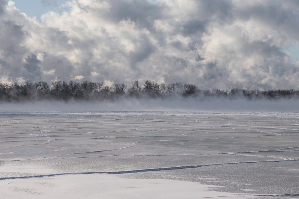
A cold snap that felt like -40C with wind chill prompted officials to declare the "ground stop" on Tuesday morning, as officials said the extreme cold was freezing some equipment and making it unsafe for employees to work.
"The doors freeze shut and fuelling freezes. It's just harder to get everything done and as a result the processing of the aircraft is taking much longer." Toby Lennox, VP of GTAA stakeholder relations, said.
The halt created a domino effect across the country, with travellers in Ottawa, Calgary, Montreal and elsewhere being forced to wait hours to board their flights or rebook. Some people had been waiting for over 24 hours to start or continue their journey.
Earlier at Pearson, hundreds of passengers waited hours to board flights leaving Canada's largest airport.
Others, whose flights arrived before the ground stop, were forced to spend hours on the tarmac, where a backlog of planes waited for available gates. And when they made it into the airport, many found that their luggage was not being removed from the planes.
The situation wasn’t any better in the United States, where at least 17,000 flights were cancelled this week alone.
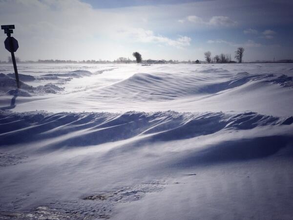
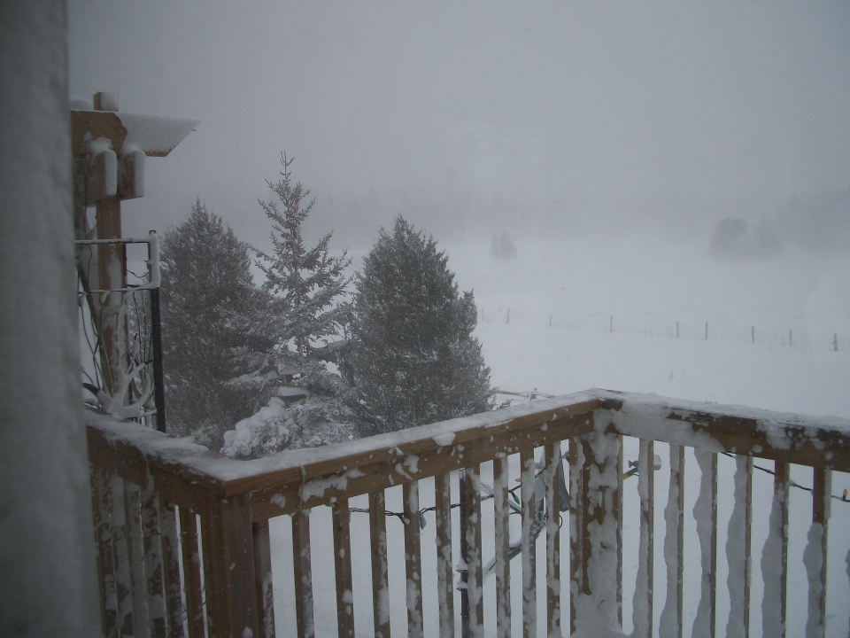
The air travel woes came with more winter misery for people in southern Ontario and the Prairies, where bitterly cold temperatures persisted for another day.
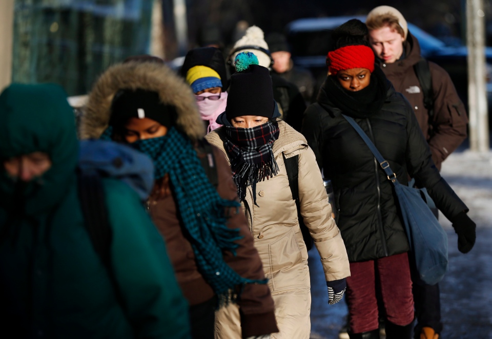
In Toronto, temperatures are forecast to hover between – 30 C to -40 C with the wind chill. In these frigid temperatures, exposed skin may freeze in less than five minutes, Environment Canada warned.
Wind chill warnings have also been issued for the northern parts of Ontario and Quebec.
In Saskatchewan and Manitoba temperatures are well past the freezing mark, with the wind chill in Regina and Winnipeg forecast to reach – 35 C and – 39 C respectively.
Meanwhile Newfoundland residents are facing milder temperatures, but a number of wind, freezing rain and rain warnings have been issued across the province.
The St. John’s area will see a high of 7 C and southeast winds gusting between 100 and 140 km/h. Later tonight, westerly winds gusting up to 100 km/h are expected over the southeastern part of the province.
In Red Bay, Labrador, a warning has been issued for freezing rain, with it changing to rain later in the day.
The Corner Brook area in Newfoundland can expect a total rainfall accumulation between 30 to 55 millimetres by Tuesday afternoon, Environment Canada said.
Out west, the Vancouver region will see periods of rain and a high of 7 C.


